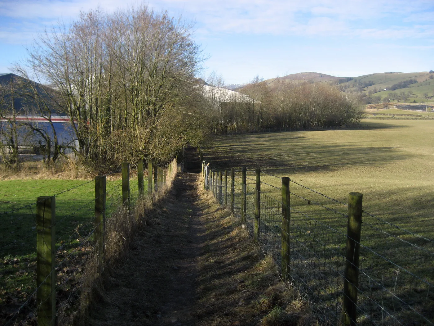

The Westmorland and Furness Way opened on 15 September. Its longest stage, 27 miles from Sedbergh to Bowness, runs through Burneside and Staveley.
A new 120-mile long-distance walking route opened on Tuesday 15 September, and its longest and hardest stage comes straight through Burneside and Staveley on its way from the Howgills to Windermere.
The Westmorland and Furness Way runs from Alston, England’s highest market town, to the ruins of Furness Abbey near Barrow. Westmorland and Furness Council developed it, building on a concept by the local guidebook writer and walker David Pitt, and it uses existing public paths wherever it can. It was launched at The Black Bull Inn in Sedbergh, as part of the town’s Walking and Wellbeing Festival, with a guided walk along a short section.
One thing to be straight about first: the route does not go through Kendal. It crosses the area to the north of the town, through Burneside, about two miles away, and Staveley, about four and a half miles north west. What that means in practice is set out below, and it is better news for Kendal than it sounds.
The stage that crosses our patch
Section 4, “From the Dales to the Lakes”, runs Sedbergh to Bowness-on-Windermere.
- 27 miles (43 km), with 874 metres of total ascent.
- Rated challenging, the hardest of the six stages.
- The official guide recommends up to four days for it.
It follows the Dales Way out of Sedbergh, crosses the River Rawthey and turns north along the Lune. On that stretch it passes the Lune Viaduct, a disused railway line carried 30 metres up on red sandstone arches, the 16th-century Crook of Lune bridge and the Grade II listed Lowgill viaduct.
It then crosses the M6, passes under the West Coast Main Line and reaches Patton Bridge on the River Mint. From there it comes down to Sprint Mill on the River Sprint and into Burneside, past James Cropper’s papermill, which has been making paper there since 1845. The route enters the Lake District National Park near Staveley and finishes at Bowness.
The guide also makes a point that will be news to plenty of people who live here: the River Kent catchment is the only major river system in England where populations of white-clawed crayfish can still be found.
Why this is worth something to Kendal
The route does not touch the town, but the official guide sends walkers into it.
On eating, it warns that there are limited options between Sedbergh and Burneside and that walkers should carry a packed lunch. On beds, it says accommodation is sparse outside the main towns, and that taking the Lakes Line from Burneside or Staveley gives more options in Kendal or Windermere.
Both villages have a station on that line. Burneside is one stop from Kendal and Staveley is two, on the branch that runs Windermere to Oxenholme. A walker who finishes a long day at either can be in Kendal for the evening. That is the commercial case for the route as the council itself puts it: walkers looking for somewhere to eat, stay and recharge.
The next stage needs the council’s own ferry, and it costs £1.50
Section 5 carries on from Bowness to Ulverston, 21 miles with 1,041 metres of ascent, and it starts by crossing Windermere on the Windermere Ferry, which Westmorland and Furness Council runs itself.
Anyone planning that stage should know four things about the crossing, all from the council’s own ferry page:
- A pedestrian single is £1.50, and the ferry takes card payments only.
- First crossing from Ferry Nab is 6.50am Monday to Saturday, but 8.50am on Sundays because of a maintenance break.
- On days with less than a full crew the team break from 10.10am to 10.40am and 6.10pm to 6.40pm, so the last boat before the morning gap is 9.50am from Ferry Nab.
- The last crossing drops from 9.50pm to 8.50pm when the winter timetable starts at the end of October.
One caution on that last point. The council’s page gives the summer timetable as running to the last Saturday in October, which is the 31st, and the winter timetable as starting on the last Sunday in October, which is the 25th. Those two dates overlap by a week. If you are walking that stage in late October, ring the ferry on 01539 713 066 rather than trusting the published table.
What else is on the route
Beyond the ferry, section 5 climbs to the Claife Viewing Platform, built in the 1790s at the very beginning of Lake District tourism, passes St Peter’s Church at Far Sawrey of 1869 and goes through Grizedale Forest to Satterthwaite. It comes down to Coniston Water and crosses the River Crake, which the guide notes was Arthur Ransome’s model for the Amazon in Swallows and Amazons.
The council has put up new waymarking and heritage interpretation boards along the whole route, covering lead mining, textile mills and boat building. It is also planning a Walker’s Passport with stamping points at participating venues, and says the profits from every passport will go towards keeping the route open and accessible.
Councillor Adrian Waite, the council’s cabinet member for environmental services and transport, said at the launch: “Beyond health and wellbeing benefits, this trail is a real investment in our local economy. As walkers journey through our towns and villages looking for somewhere to eat, stay, and recharge, they will bring direct support to independent rural businesses.”
Helen Coppin, co-founder of Muddy Boots Walking Holidays in Kirkby Lonsdale, said the route would appeal to UK and international ramblers and put “some of our lesser-known rural areas firmly on the hiking map”.
What it means for you
- If you want a day on it without a car, the Lakes Line is the way in. Take a train to Burneside or Staveley and walk a section of the route from there.
- If you are walking the whole stage 4, plan food ahead. The official guide says there is little between Sedbergh and Burneside, which is roughly 20 miles.
- If you run a business in Burneside, Staveley or Kendal, the passport scheme is looking for stamping points, and the council is explicit that the route is meant to send trade to places off the main tourist strip.
- If you are crossing on the ferry, take a card. It does not take cash.
Full section-by-section details, including maps and the GPX files, are on the official route pages, and the council set out the launch in its announcement of 15 September and its earlier notice of 30 July. Ferry times and fares are on the council’s Windermere Ferry page.
More from us: things to do in Kendal, trains to London and the Lakes Line and Kendal roadworks and travel.
Have your say